
What started out as a question I received everyday while managing an Orvis Fly Fishing Store in Vail, Colorado, “Where should I go fishing today”?
Turned into an Outdoor Recreation Mapping Company, now with over 1500 mobile maps and 45 printed maps of National Parks, State Parks, rivers, streams, lakes, biking trails, hiking trails, ski trails, canoe routes, motorcycle routes, Big Game Hunting Units, and more.


Mobile gps accurate maps!
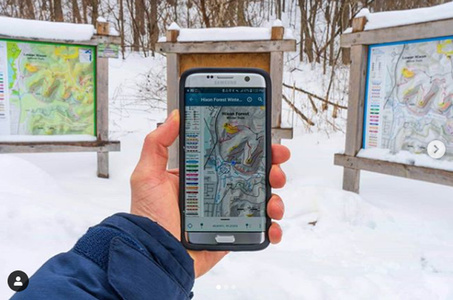
Maps work in the Avenza Map App, the world’s most used mobile map app. Once in the maps extent, a Blue GPS Dot displays your location in real time and works without cell service or internet connection.
1500 Outdoor Recreation Mobile Maps for National Parks, hiking, biking, fishing, hunting, backpacking and canoeing.
GPS Paper and Mobile National Park & Recreation Maps
GPS Paper and Mobile National Park & Recreation Maps

Market your Organization with
unique maps and services!
Innovative marketing solutions using maps to promote your organiztion.
- Retailers that stock a minimum of 25 maps receive an interactive digital business card.
- Digital business card QR Codes are affixed to the maps you stock in your establishment.
- When a customer scans your QR Code, your digital business card opens on their phone.
- Customers can save your card to their home screen and share your card with others.
- Interactive links on your card direct consumers to wherever you want them to go.
Businesses can also advertise on both printed maps and/or mobile maps and receive an interactive digital business card. QR codes are printed on the business card size ad on either the printed map, mobile map or both.
Scan the QR Code below to see one of our retail partners digital cards in action.


GPS MAP SERVICES & PRODUCTS
Outdoor Recreation GIS Mapping Specialists. We are experts in creating the finest, most detailed GPS accurate maps for outdoor recreation of any type. Maps are scaleable and can be used as paper maps, outdoor signage, indoor signage and more.
GPS Map Signage
GPS accurate, highly detailed
Outdoor Recreation Map Signage
Custom Outdoor Recreation Maps
GPS accurate, highly detailed
Outdoor Recreation Maps
GPS accurate, highly detailed National Park Paper and Mobile Maps. Explore like never before.
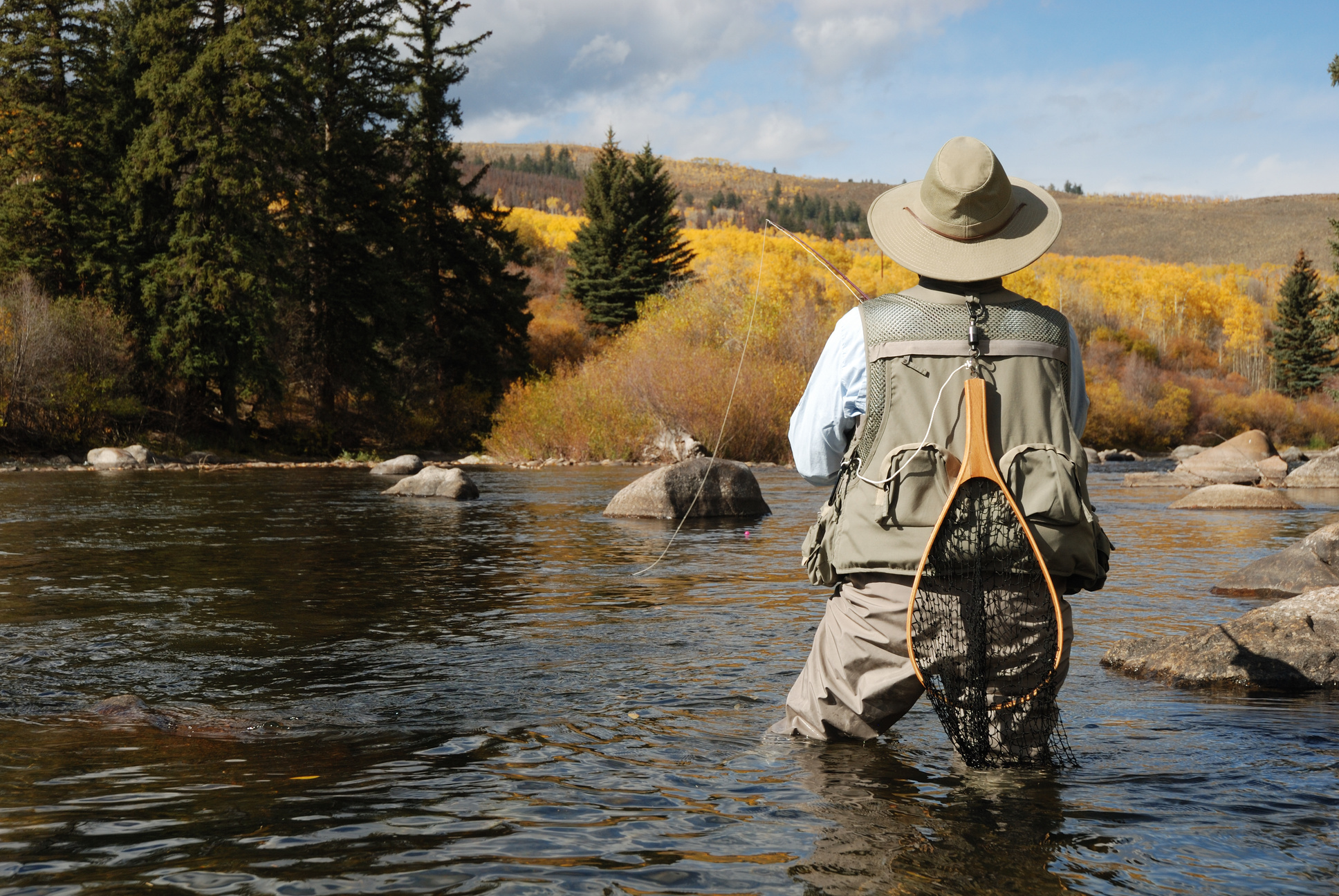
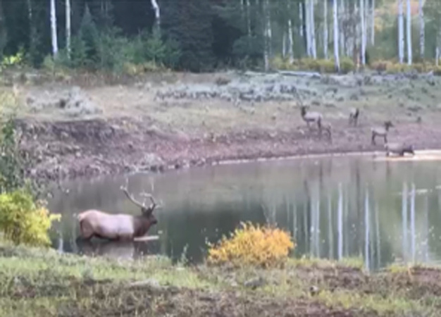
Spend more time fishing and less time searching for public access.
GPS accurate maps.
World’s #1 most used mobile map app. NEVER GET LOST!
All our maps are GPS accurate and used in the Avenza Map App. Once downloaded and in the maps extent a Blue GPS Dot will mark your location in real time. Follow the dot to your desired destination. Maps work without cell service or internet.
→
Drop pins to mark your favortie spots.
Give your pins names and descriptions.
Take photos and geotag to a pin.
Use the built in compass for orienteering.
Record GPS tracks.
Measure distances and more.................
→
Everyone of our map products includes a QR Code to scan and download the accompanying mobile map for free. We also have over 1500 mobile maps available for purchase and download in our Map the Xperience Avenza Map Store.
→

Custom Outdoor Recreation Maps

As professional GIS cartographers, we have the skills and expertise to create the perfect
map for your organization. We work with your team from the onset, first developing a vision
and plan for your map.
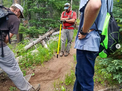
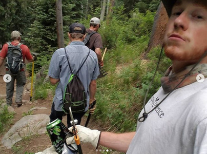
Then, we gather GIS data from a variety of sources, plot the data, add layers such as
federal, state, county and city public lands, trails, trailheads, streams, lakes, campgrounds, points of interest, roads, and more, and then incorporate all this data into a map using ArcMap, Spatial Analyst, MAP Publisher, Illustrator, Photoshop, Geographic Imager or Google Earth to create your map masterpiece.
Maps are GPS accurate, highly detailed, scalable, and can be used for print on a variety of print mediums and for signage.
Maps are also created for use as mobile maps in the Avenza Map App, and will work without cell service or internet.

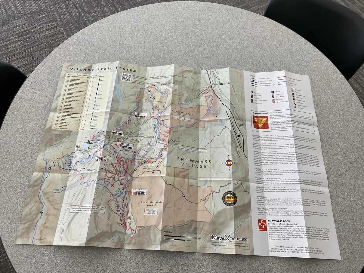
Snowmass, Colorado
Summer Trail Map
Map Projects

Royal Elk Ranch
Property Map
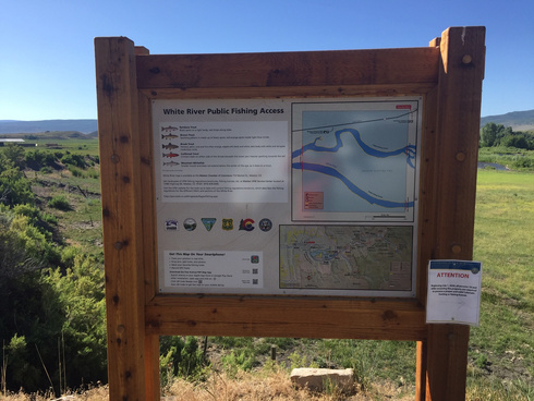
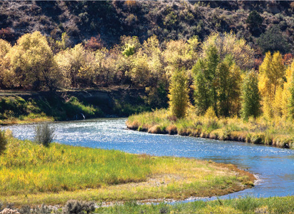
White River, Colorado
Fishing Kiosks & Maps
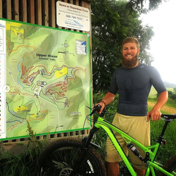
Hixon Forest
Wisconsin
Kiosks & Maps
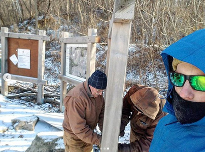
Hixon Forest Trails Project
Project: Create several maps for Kiosks in the Hixon Forest Park. Maps included newly built trail systems
and were designed to clearly identify hike only and combo hike/bike trails. We designed numerous maps, both for summer and winter ski trails, and printed these maps on several signage kiosks in various locations. Hikers, bikers and cross country skiers can scan the QR Code on each sign to get the map on their smartphones.
Client: City of La Crosse, WI and ORA

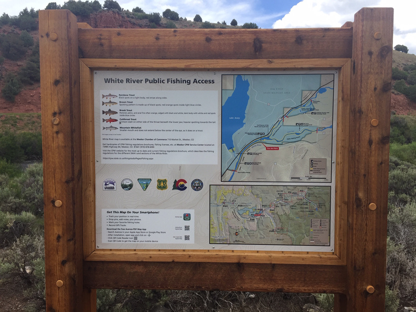
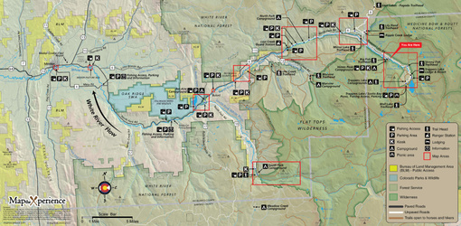
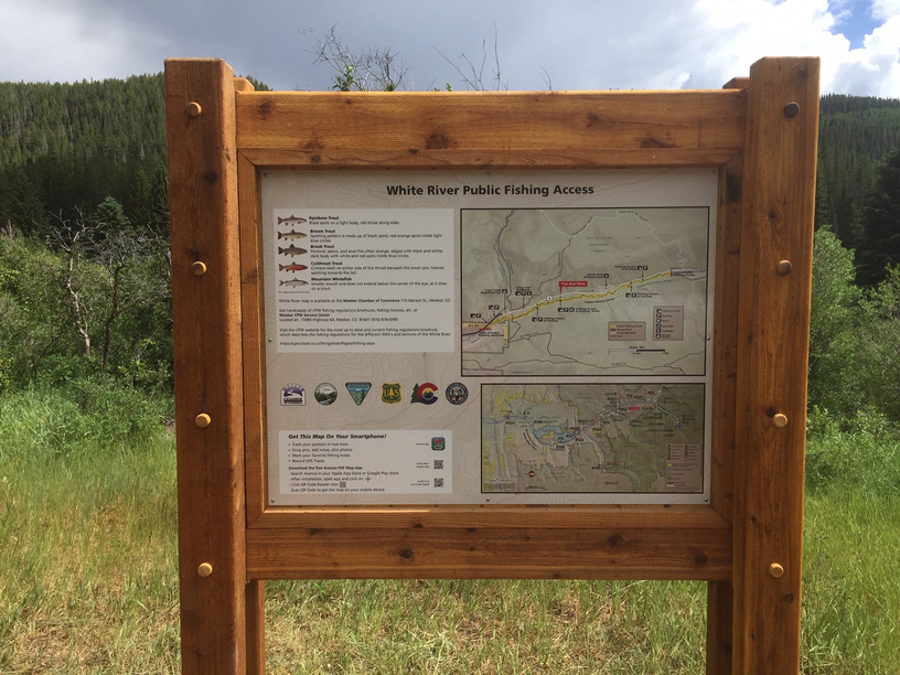
White River, Colorado Map & Signage Project
Project: We first created an overview map of the White River, located in Rio Blanco County in northwest Colorado. This overview map depicted the river for 50 miles beginning at it’s headwaters at Trappers Lake on the Flattops, and flowing west to the Town of Meeker. The White River flows through USFS, private lands and BLM lands. We then created 10 individual maps and associated kisok’s for public access locations along the river. A 15 x 12" paper map was created along with an accompanying GPS accurate mobile map for use in the Avenza Map App. Fishermen can scan the QR codes on each of the 10 kiosks to get the mobile map for that area on their smart phones.
Client: Town of Meeker, Rio Blanco County, United States Forest Service, Bureau of Land Management, Colorado Parks and Wildlife.
Royal Elk Ranch, Colorado Property & Trail Map
Project: We worked with the Royal Elk Ranch, a 3000 acre ranch in Colorado, to create a GPS accurate topographic map
of the property, along with their extensive road and trail system. This map is being used by the property owners, maintenance staff, guests and visitors to navigate, as well as to layout fencing, ponds, irrigation ditches, and was used by the United States Forest Service and BLM in 2020 when a wildfire ravaged the area. The Forest Service and BLM used this map during the fire to build a fire break on the property to protect its structures.

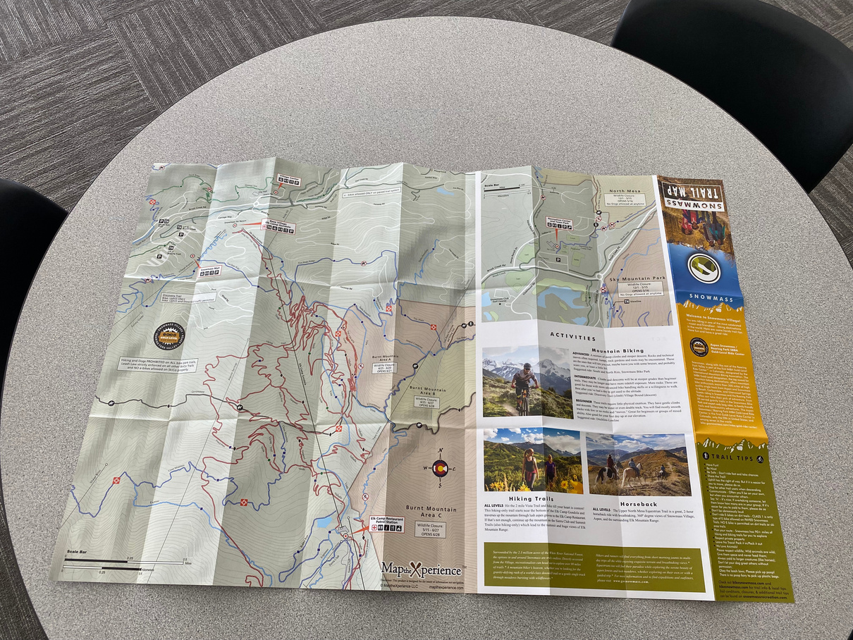
Town of Snowmass Summer Trail Map
Project: We were hired by the Town of Snowmass, Colorado to redesign their summer hiking and biking trail map.
We created both a 36 x 24" paper map, and an accompanying GPS accurate mobile map for use in the Avenza Map App. The Town of Snowmass distributes these maps for free at numerous locations around town for summer visitors to use. The QR code printed on the paper map allows the visitors at their leisure to download the mobile map to their smartphones.

Venture off the beaten path and discover places you have only dreamed of exploring.....
Toll Free
(800) 518-9845
dan@mtxp.net


Meet our Team


Daniel Bryant
Operations - GIS
Greg Tanaka
Cartographer - GIS
Joshua Rostek
Cartographer - GIS
Bill Perry
Sales - Fishing Consultant

Steve Adams
Sales

Nikole Mathews
Sales